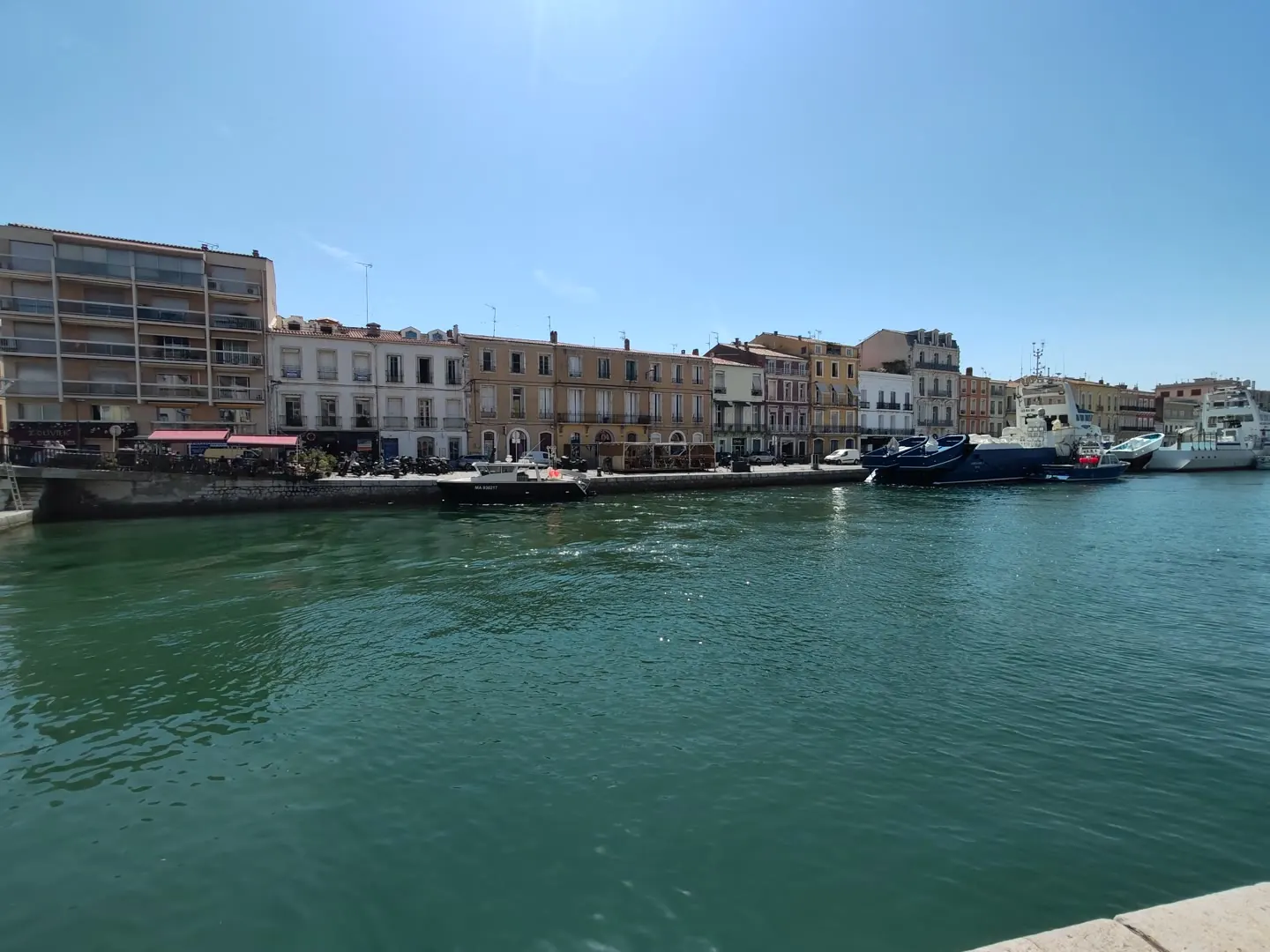
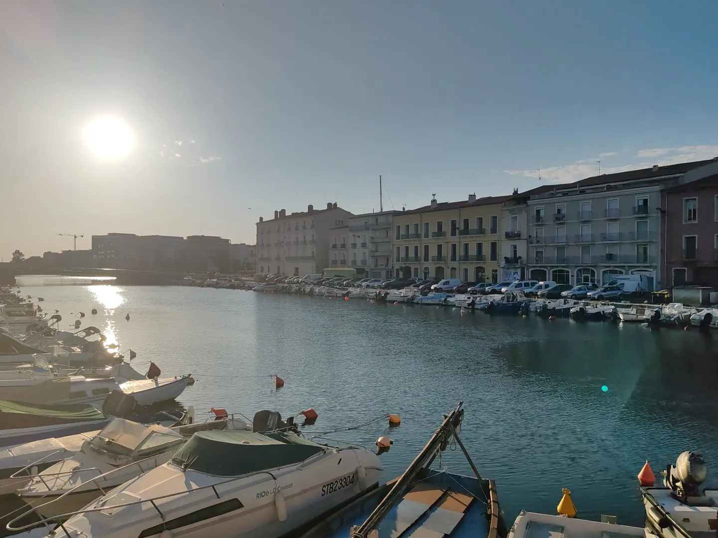
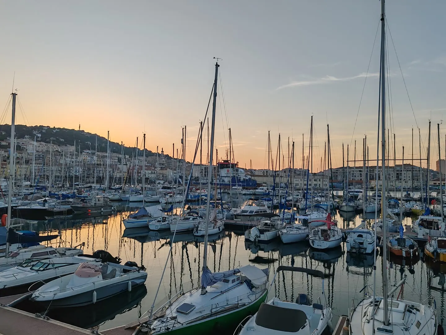
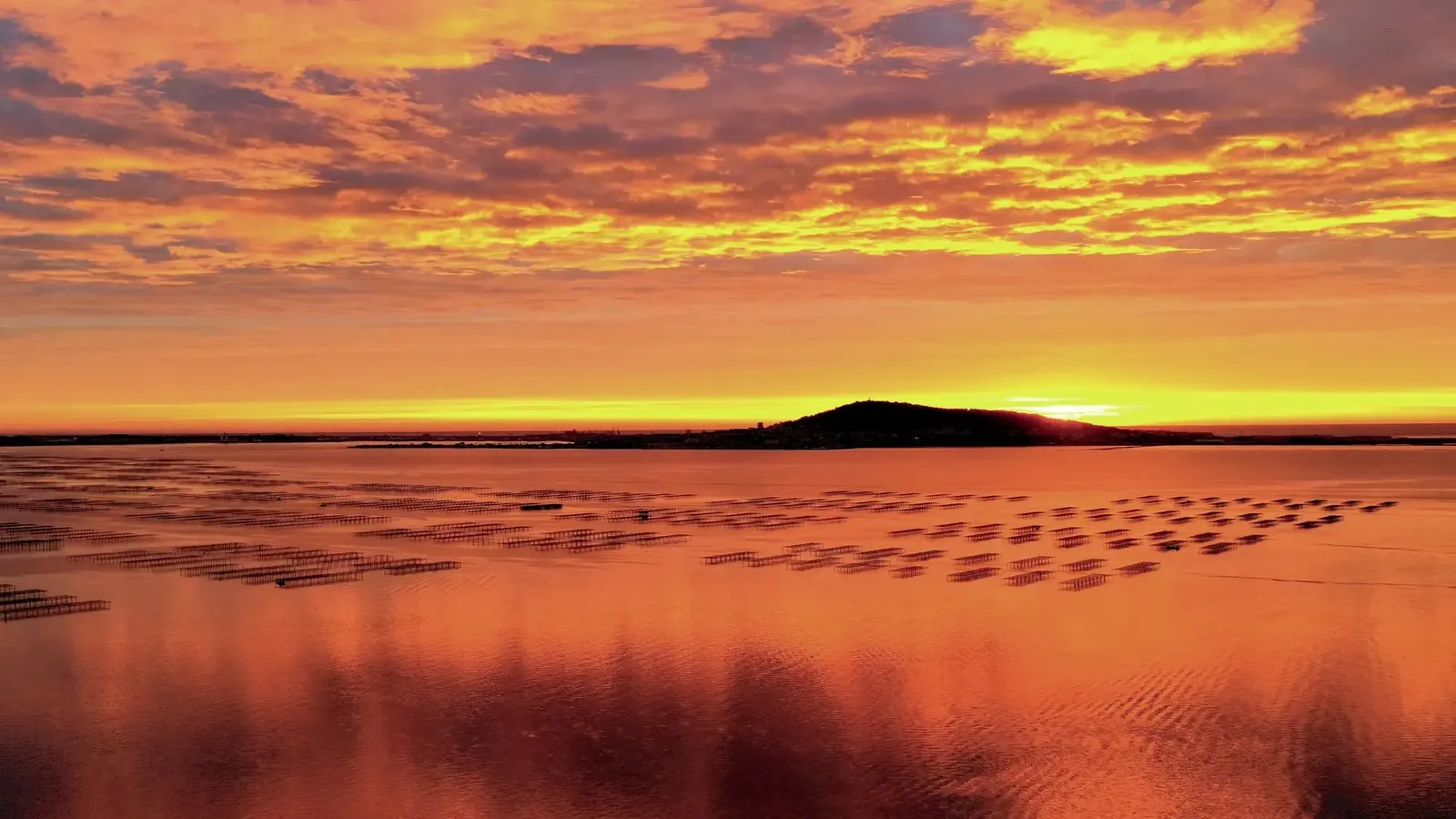
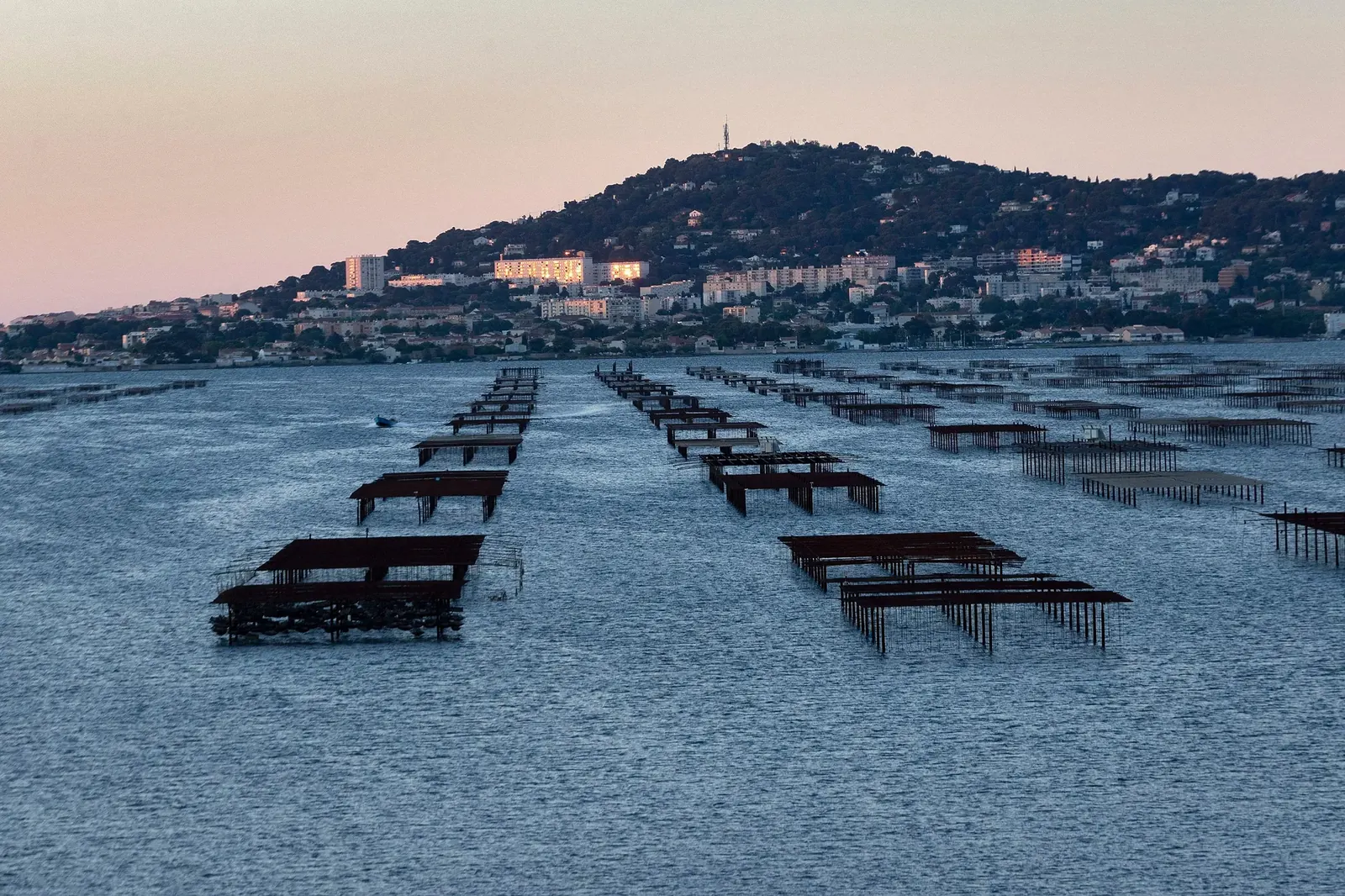
Hydro-K turns any camera (fixed, drone or smartphone) into a smart sensor that detects hydrocarbons and anomalies on the water surface and alerts instantly, with the exact position and the maritime context needed to act.
Satellite imagery and periodic patrols are essential, but they leave windows of hours or days without surveillance. That is when a bilge discharge, a fuel leak or an illegal dump spreads, and the chance to identify the source is lost.
Hydro-K does not replace those methods: it completes them. It analyses video continuously, at a resolution satellites cannot reach, and alerts the moment pollution appears.
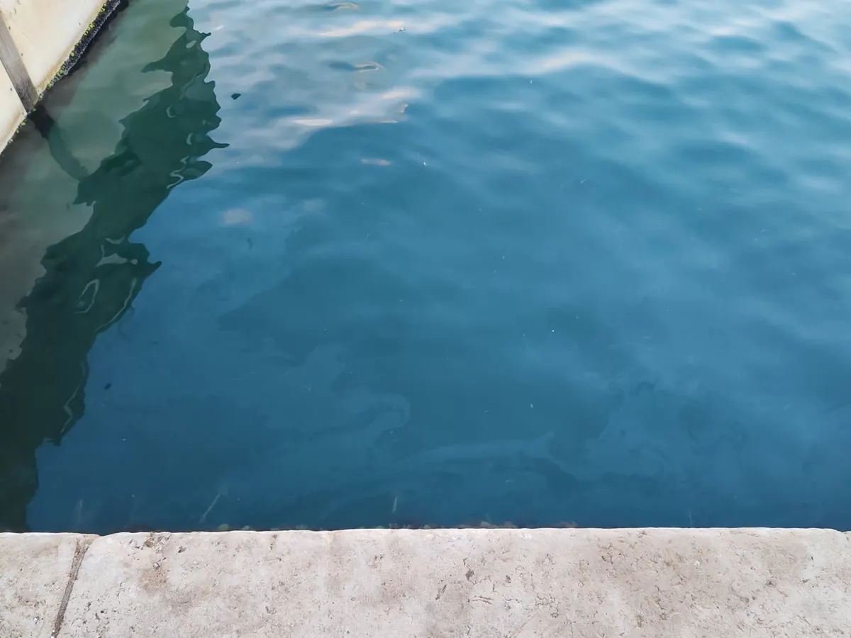
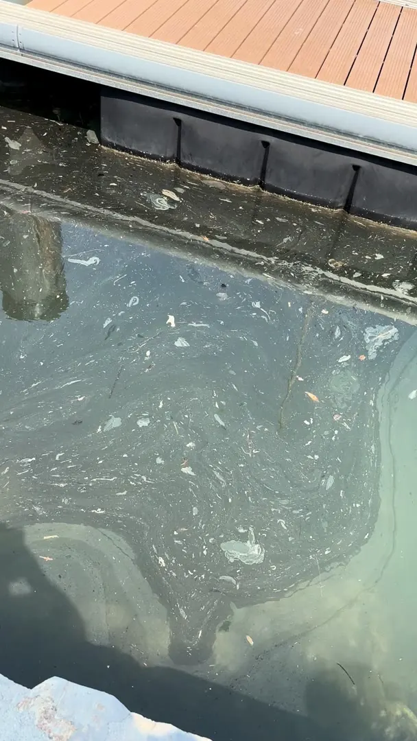
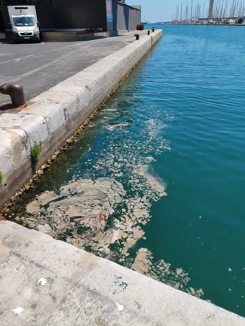
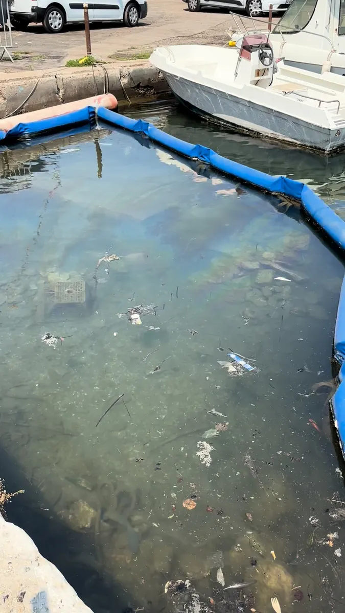
We use the cameras you already have or install our own: fixed port cameras, inspection drones or even a smartphone. No change to your infrastructure is needed.
Our artificial intelligence observes the water continuously and instantly recognises anything that should not be there: hydrocarbons, foam, debris or anomalies.
You receive an alert with the position on the map, images, time and the context of the moment (nearby vessels, weather), plus a report ready to share with the authorities.
Hydro-K's core is hydrocarbon detection, but the system is built to recognise any surface anomaly and put it in context.
Heavy slicks, thin films (sheen) and polluting foams, with sub-metre precision from fixed cameras or drones.
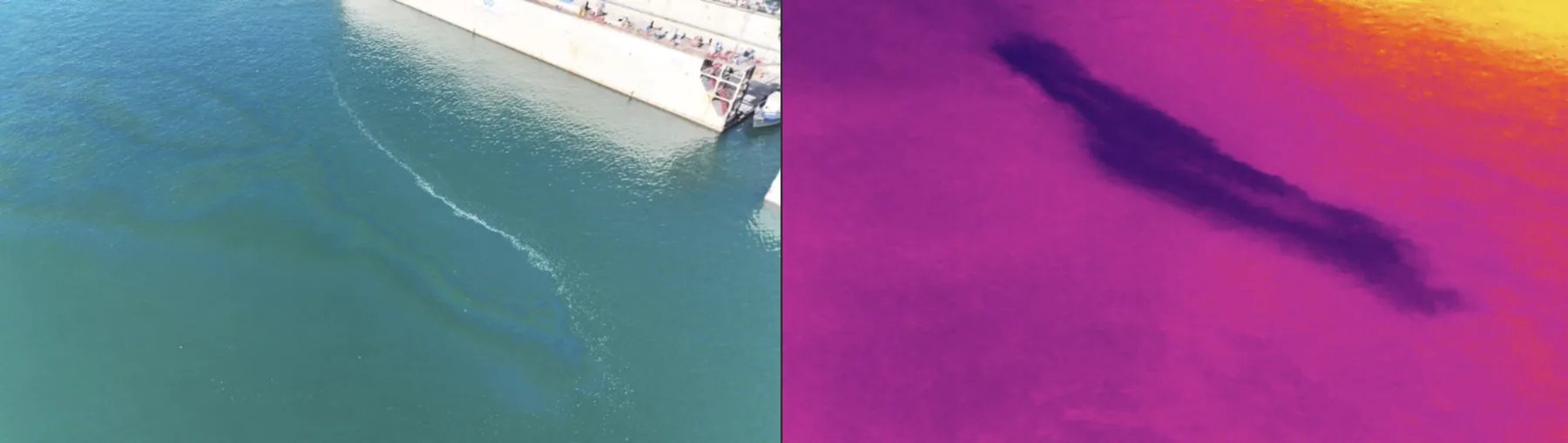
We combine a colour camera with a thermal camera: what is barely a faint reflection to the naked eye shows up in thermal infrared as a sharp slick, thanks to the temperature difference between hydrocarbon and water. Two sensors, one more reliable detection, day and night.
Floating waste, unusual discharges and changes in the water's appearance: anything that departs from the normal surface pattern.
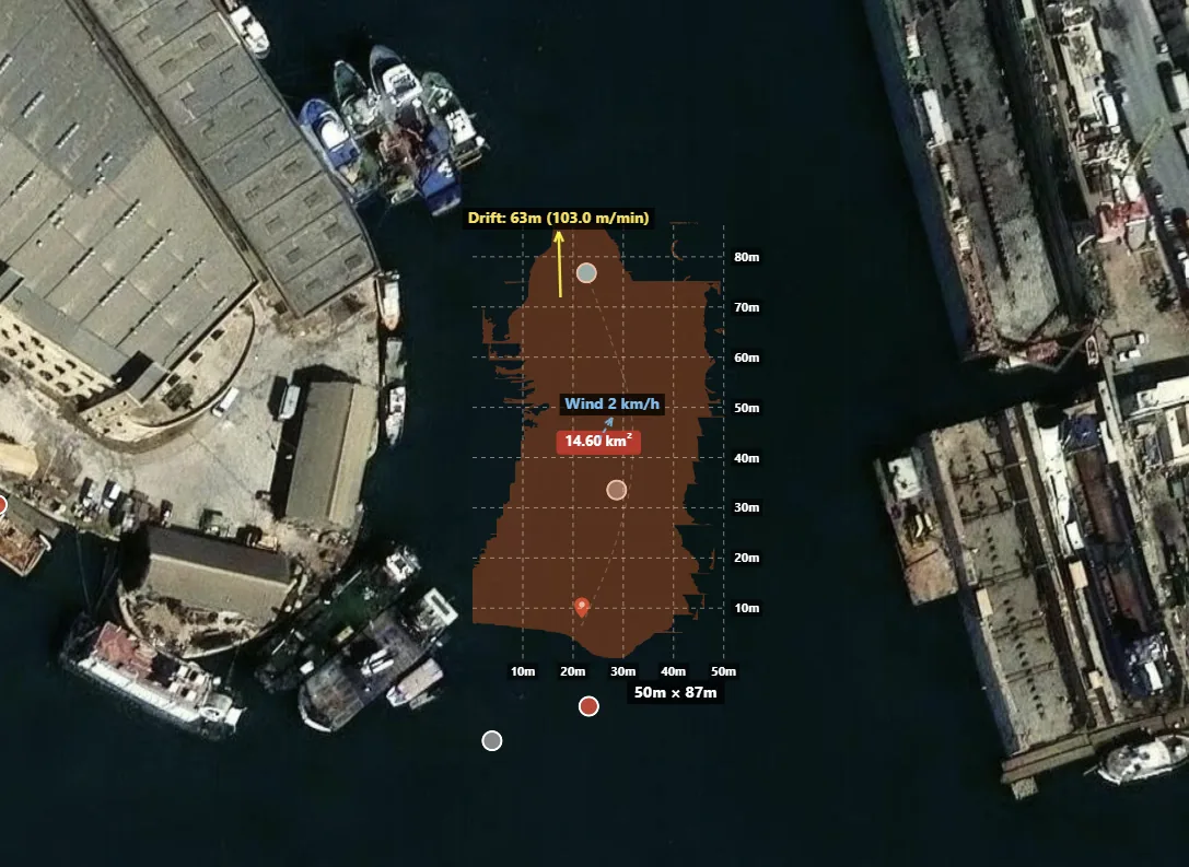
Each slick is measured on the map (dimensions and area) and its drift is computed from wind and current. You know how much there is, where it will be in a few minutes and where to intervene.
Real-time vessel positions and routes to correlate each event with nearby ships and identify the probable source.
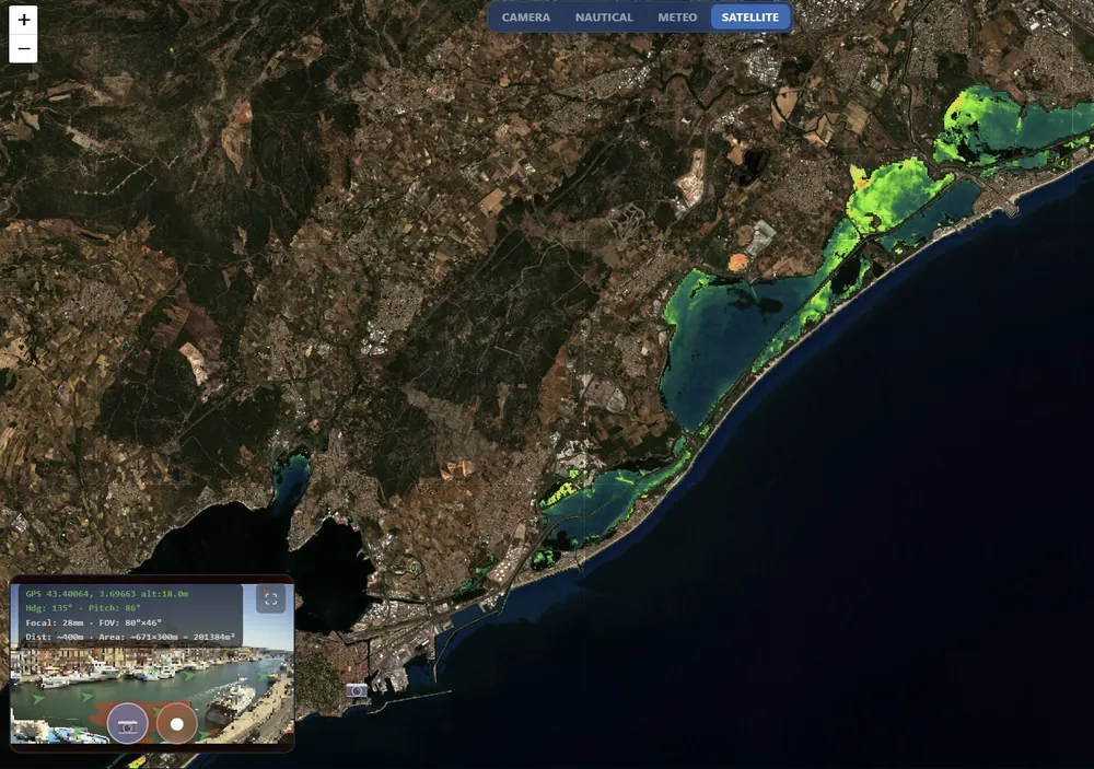
Copernicus and Sentinel layers (temperature, currents, wind, chlorophyll) that give context to each event and feed drift prediction.
Every detection geolocated with coordinates, estimated area and confidence level.
Automatic cross-referencing with positions, routes and history of vessels near the event.
Wind- and current-based model to anticipate where the pollution will move in the coming hours.
Annotated images, coordinates, weather and vessel traffic exported as PDF for the authorities.
Inspection flights are projected onto the map using the drone's telemetry and produce georeferenced cartography, including 3D.
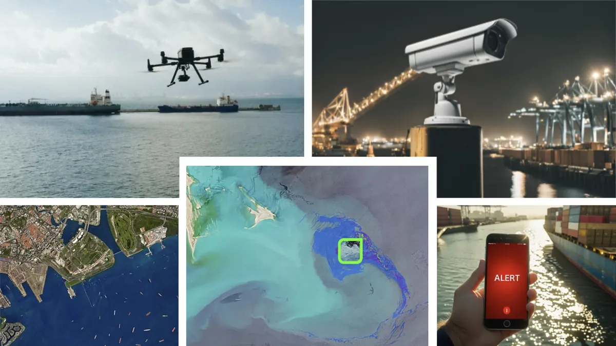
Fixed port cameras, inspection drones, ship-mounted sensors or smartphones. Any video source becomes an intelligent surveillance node in the network.
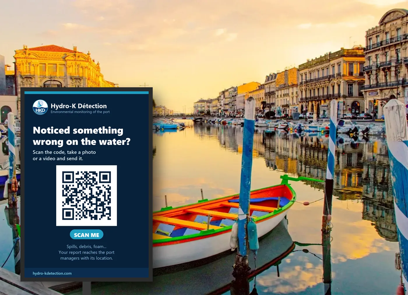
Fixed cameras and drones keep watch, but the eyes of people passing through the port count too. With a sign and a QR code on the quay, anyone opens the app, takes a photo or video of what they see and sends it in seconds.
The report reaches the managers subscribed to that area (port authority, harbour master, environmental service) with location and time, analysed by the same AI as the rest of the system. A simple channel for citizens and a professional record for those who manage the water.
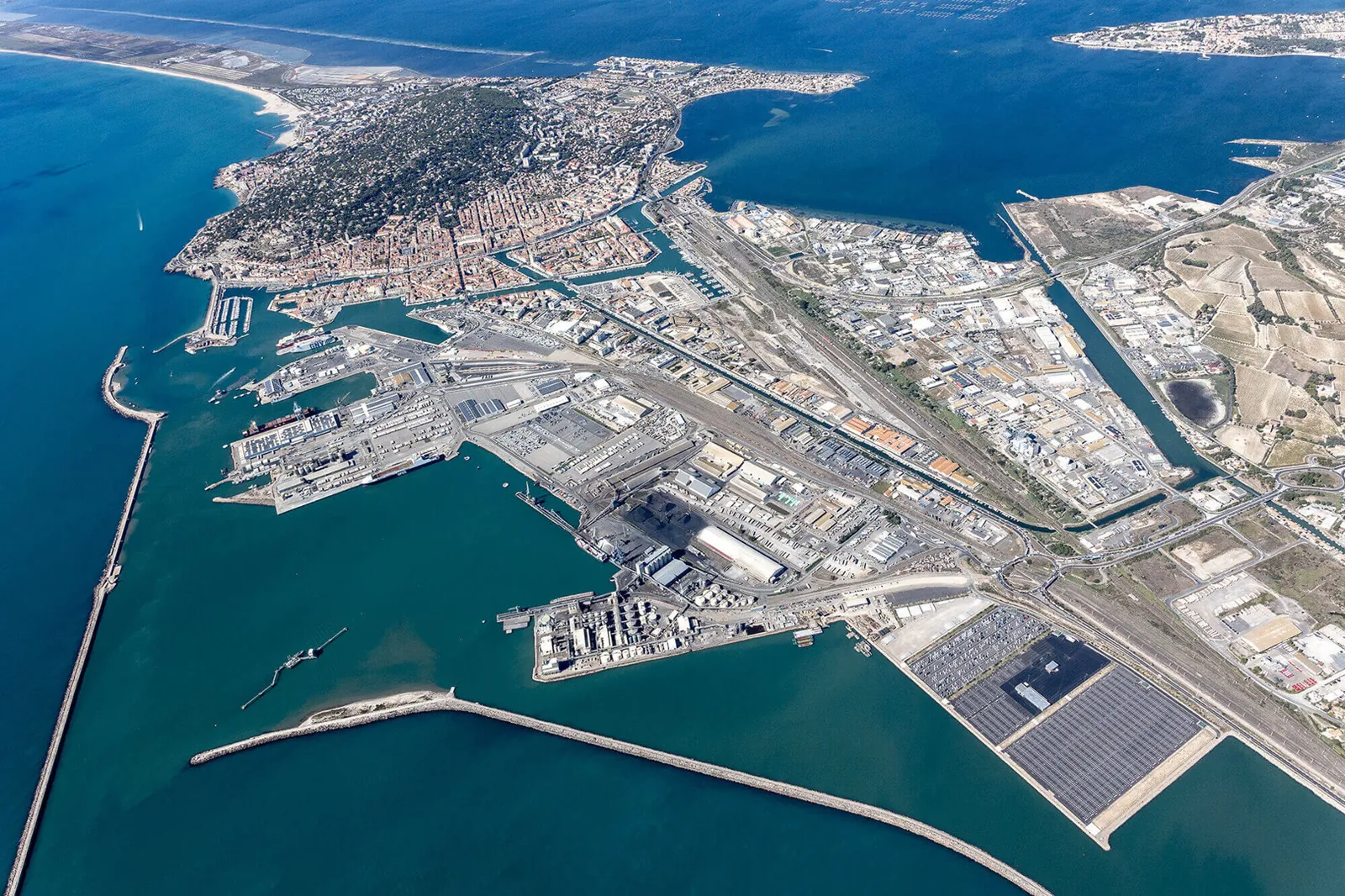
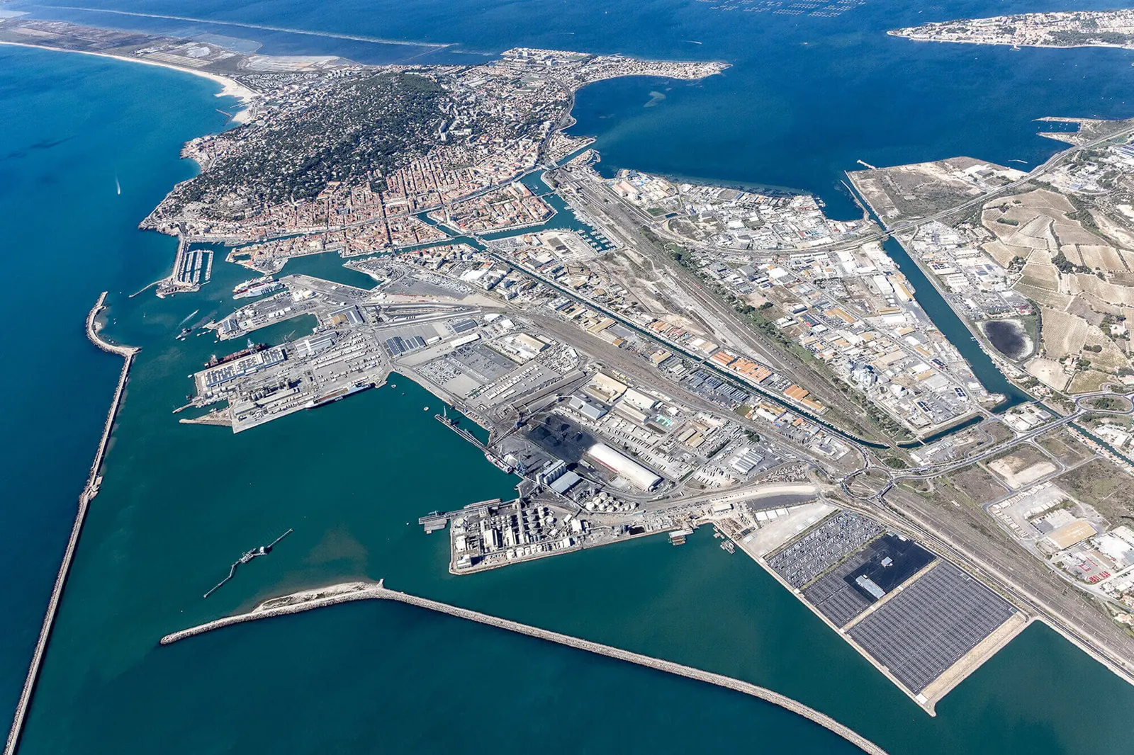
Continuous monitoring of basins and access channels. Automatic detection of bilge discharges, bunkering spills and illegal dumping, with vessel identification.
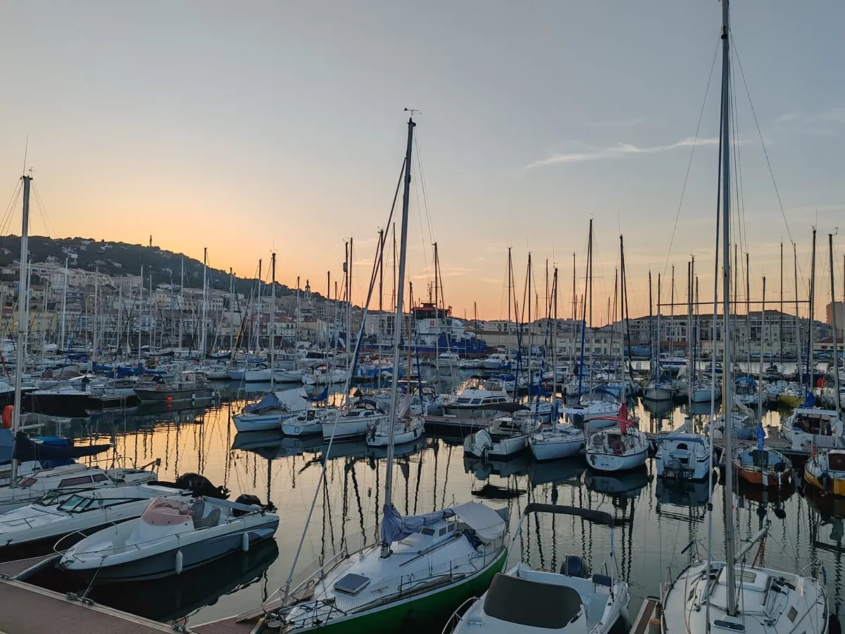
Water control at pontoons and fuelling areas, with alerts to the maintenance team and a log for environmental certification.
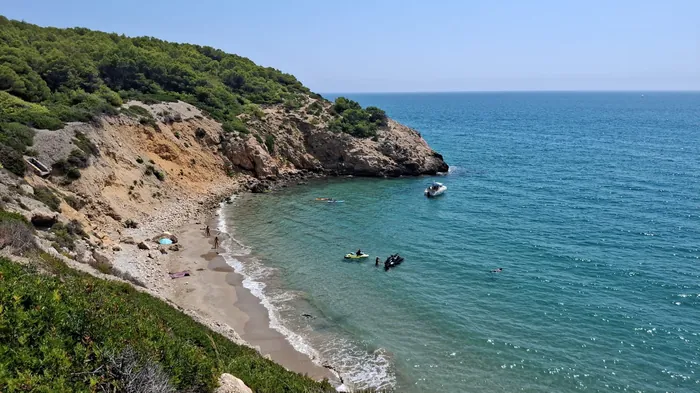
Camera networks on estuaries, marine reserves and bathing areas. Early warning of slicks approaching the shore and drift prediction.
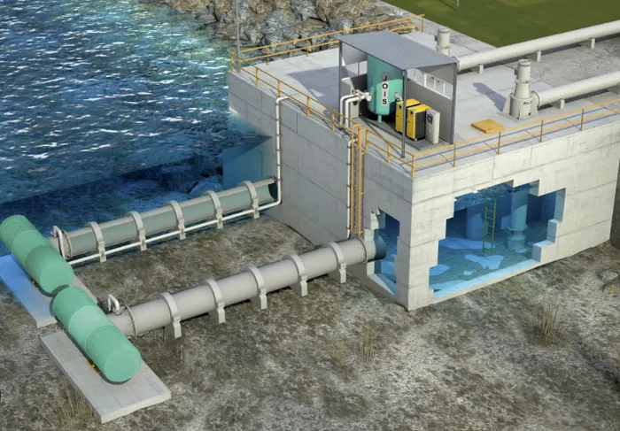
Discharge points, intakes and effluents monitored in real time to ensure compliance and protect downstream ecosystems.
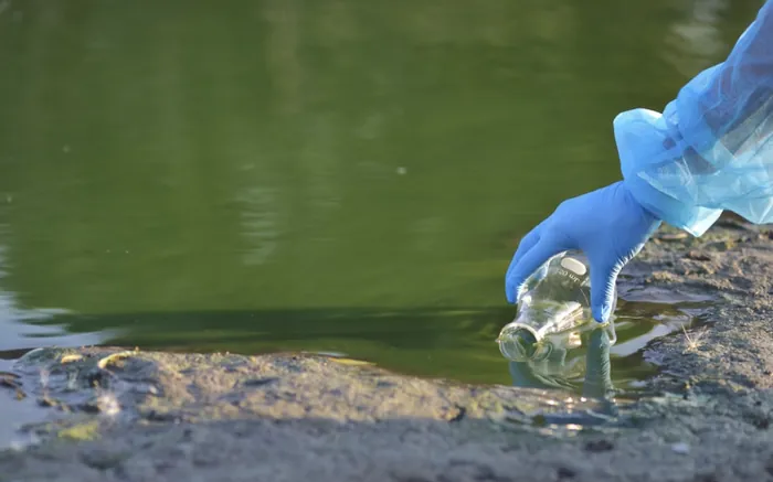
Water-quality surveillance at sensitive sites, from Natura 2000 areas to drinking-water intakes and hydroelectric plants.
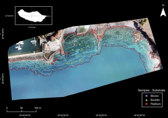
Drone surveys with georeferenced analysis, and a mobile app that lets anyone report what they see on the water.
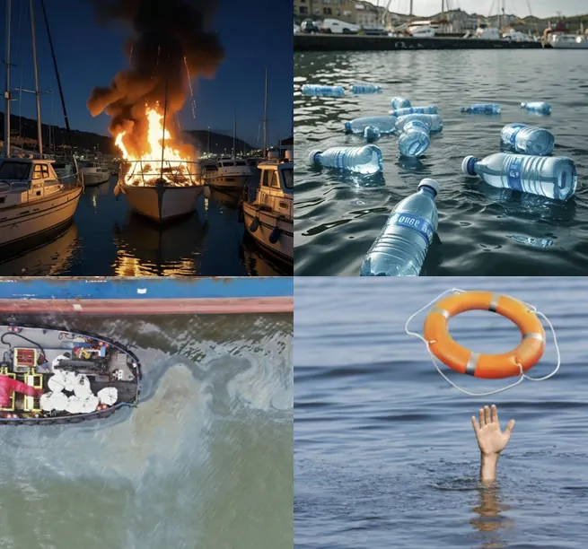
Our models adapt to your needs: fire detection, person-overboard alerts, vessel classification and much more. We work with you to train and deploy specialised computer-vision systems for real-time monitoring.
Tell us what you want to monitor and we will design the right solution.
Talk to the teamOptimise your operations, minimise environmental impact and keep full control of your waters.
Request a trial in your portA project born at CY Cergy Paris Université and École des Ponts ParisTech.

Tell us which water you want to monitor (port, marina, plant, coast) and which cameras you have. We will propose a tailored pilot, no commitment.
 Hydro-K Détection